

Seven Continents Kentucky Lampkin Park, Bowling Green, KY
Source: Google Images Source: BlogSpot Kentucky Source: bgky.org
Maps
Geography is the study of the Earth's surface and of how it is affected by the movements of land , sea, and air and by the interactions of the humans and animals who live on it. Studying the Earth's surface can easily be done with the use of globes, maps, graphs, and charts. Globes are a great examples of the Earth's shape and tilt, and best shows the distorted version of the land and water masses that make up our Earth. Maps can show a variety of specific things (mountains, roads, parks, rest areas, bodies of water, and more) but the map is also a distortion of what is really there. Using legends to label maps is what makes them clear because it determines what things are and how far apart they are from one another. Graphs and charts are best used to show change, whether it be in size, degree, or over a period of time. Primary level students should have an understanding of some basic geography terms in order to read and create maps, graphs, and charts.
The land masses that make up our Earth are divided into seven continents (Asia, Africa, North America, South America, Antarctica, Europe, and Australia). Each of these continents are similar in that they are masses of land, but are unique in what makes up their land. Asia is the world's largest continent and is made up of deserts, lakes, mountains, and rivers. Africa is the second-largest continent and is mostly made up of mountains, deserts, basins, highlands, and rivers. North America is the third-largest continent and is largely made up of mountains and plains. South America is in the middle in size of the seven continents and is made up of islands, mountains, basins, deserts, and highlands. Antarctica is the most unique of all the continents because it is a mass of frozen water, some places being up to two miles thick. Europe is the second-smallest continent and is made up of highlands, lowlands, and plains. Australia is the smallest of the seven continents and is mostly made up of plateaus, plains, deserts, basins, and mountains.
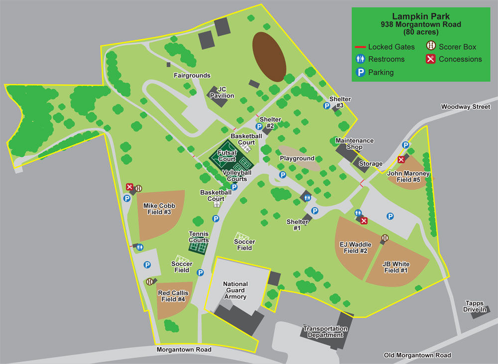
On a smaller scale, focusing on Kentucky, we see that this state is made up of rivers and swamps, coal fields, plains, mountains, and plateaus. The state is divided up into regions known as the Bluegrass, Knobs, Eastern KY Coal Fields, Pennyroyal, Western KY Coal Fields, and the Jackson Purchase. Bowling Green is located in the Pennyroyal region which is largely made up of plateaus. Maps provide the opportunity to focus in on small regions to get to know and understand the land we live on a little better.
Source: Google Images Source: BlogSpot Kentucky Source: bgky.org
Maps
Geography is the study of the Earth's surface and of how it is affected by the movements of land , sea, and air and by the interactions of the humans and animals who live on it. Studying the Earth's surface can easily be done with the use of globes, maps, graphs, and charts. Globes are a great examples of the Earth's shape and tilt, and best shows the distorted version of the land and water masses that make up our Earth. Maps can show a variety of specific things (mountains, roads, parks, rest areas, bodies of water, and more) but the map is also a distortion of what is really there. Using legends to label maps is what makes them clear because it determines what things are and how far apart they are from one another. Graphs and charts are best used to show change, whether it be in size, degree, or over a period of time. Primary level students should have an understanding of some basic geography terms in order to read and create maps, graphs, and charts.
The land masses that make up our Earth are divided into seven continents (Asia, Africa, North America, South America, Antarctica, Europe, and Australia). Each of these continents are similar in that they are masses of land, but are unique in what makes up their land. Asia is the world's largest continent and is made up of deserts, lakes, mountains, and rivers. Africa is the second-largest continent and is mostly made up of mountains, deserts, basins, highlands, and rivers. North America is the third-largest continent and is largely made up of mountains and plains. South America is in the middle in size of the seven continents and is made up of islands, mountains, basins, deserts, and highlands. Antarctica is the most unique of all the continents because it is a mass of frozen water, some places being up to two miles thick. Europe is the second-smallest continent and is made up of highlands, lowlands, and plains. Australia is the smallest of the seven continents and is mostly made up of plateaus, plains, deserts, basins, and mountains.
On a smaller scale, focusing on Kentucky, we see that this state is made up of rivers and swamps, coal fields, plains, mountains, and plateaus. The state is divided up into regions known as the Bluegrass, Knobs, Eastern KY Coal Fields, Pennyroyal, Western KY Coal Fields, and the Jackson Purchase. Bowling Green is located in the Pennyroyal region which is largely made up of plateaus. Maps provide the opportunity to focus in on small regions to get to know and understand the land we live on a little better.
